Custom Maps makes it easy to create GPS maps from map images, and those maps can be used anywhere, even when you have no data signal for your Android device (it works on both phones and tablets).
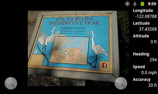
Custom Maps can use photos of paper maps or brochures, and pictures of maps posted at trailheads or at the entrances to amusement parks. It can also use .jpeg or .png images downloaded from the internet and screenshots of PDF maps.
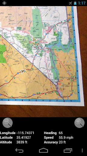
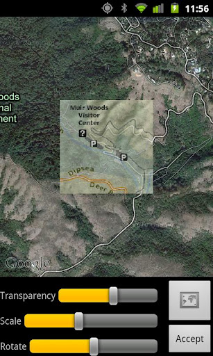
All you have to do is choose two (or more) matching points that are common to both the map image and Google Maps, and Custom Maps can then show your GPS location on the map. Data connection is required at the time the map is calibrated (created).
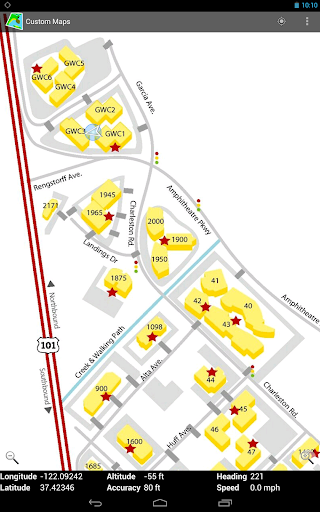
As the map images are stored on the phone, Custom Maps works offline without data signal. This is useful if you go hiking in national or state parks, and it can help you avoid international roaming charges abroad.
Custom Maps can use almost any map image, including photos, as GPS maps so it can be a helpful map application when visiting zoos and amusement parks which typically post large maps of the park layout at the entrance of the park. Just take a photo of the posted map, line it up with Google Maps, and you can see your location on the map photo wherever you are in the park.
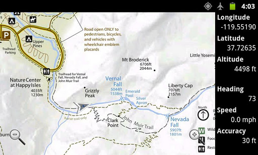
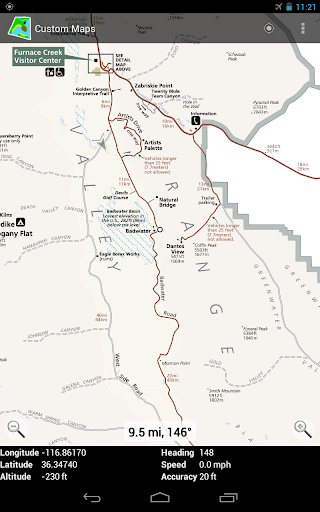
Custom Maps can show the distance from your current location to a point on the map, so it can give you an idea how far different points are. This is especially useful for golfers who could create their own GPS maps for golf courses they play.
Custom Maps uses simple image files for maps so you can add your own markup on the maps in a graphics tool (not included in Custom Maps) or draw entirely your own maps. Created maps can be shared using email from the app itself, or by hosting the map on a web server and posting QR codes for others to scan to trigger downloading of those maps.
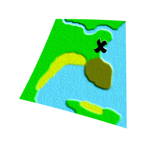
Custom Maps supports displaying placemarks on the map (starting in version 1.3.0). Placemark editing is not supported in Custom Maps itself (will be supported in a future version), but placemarks can be added in Google Earth. To add placemarks to a map, copy the kmz map file from phone to desktop computer, and open it with Google Earth. Create a folder in Google Earth containing the map overlay and add placemarks to the same folder. Then export the folder from Google Earth as kmz file, and copy back to phone.
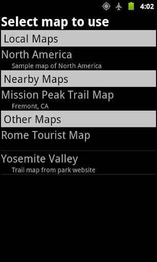
NOTE: Custom Maps app does not come with any maps included. The help menu for the map listing contains a link to www.custommapsapp.com website where you can download some sample maps to try. However, the best way to try Custom Maps is to take a photo of a paper map (or of an online map displayed on your computer screen) or download a map image from the web to your device, and then use Custom Maps to create a GPS enabled map from it.
NOTE: On some devices, newly created maps don't show up in map list until the user returns back to map list from normal map display or after exiting and restarting the app. This seems to be an issue only with very few Android versions on specific devices, in most versions newly created maps show up immediately after they are created.
You can find more information about Custom Maps at the application web site http://www.custommapsapp.com/.
Custom Maps is an open source project. Its source code can be found at http://code.google.com/p/custom-maps/.
免費玩Custom Maps APP玩免費
免費玩Custom Maps App
Custom Maps APP LOGO
Custom Maps APP QRCode
| 熱門國家 | 系統支援 | 版本 | 費用 | APP評分 | 上架日期 | 更新日期 |
|---|---|---|---|---|---|---|
| 未知 | Android Google Play | 1.3.8 App下載 | 免費 | 1970-01-01 | 2015-04-23 |